

As we think about the growing wildfire season around the world and its impact on people and the planet, it’s easy to feel powerless. But AI can help.
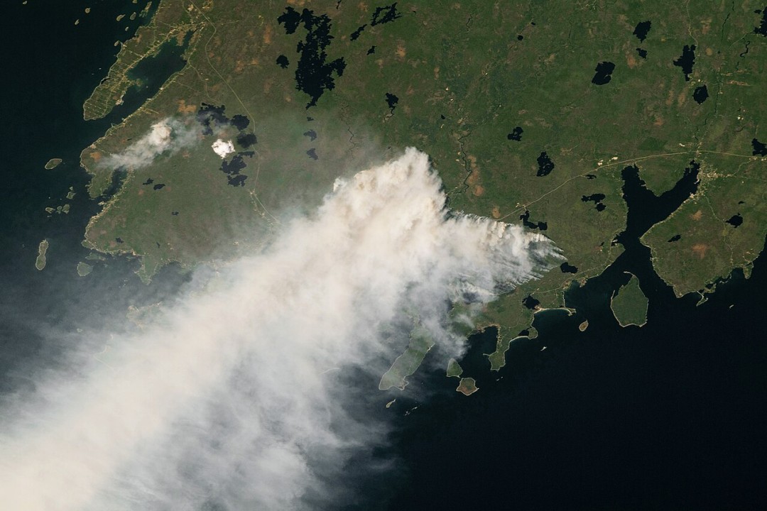
Wildfires are already breaking records in North America. So far this year, we’ve seen more than 28 million acres burned in Canada, blanketing smoke across the east coast and creating unsafe air for millions. Recent fires surrounding the Mediterranean resulted in the evacuation of thousands and in the death of two helicopter pilots in Greece. In July, we saw the hottest day on Earth ever recorded, four days in a row, creating dangerous heat conditions and perpetuating drought-like conditions. And according to a recent Challenge Seattle report, in Microsoft’s home state of Washington, we should expect to spend several days indoors again this year. Memories are still fresh from 2022 when multiple parts of the state had the worst air quality in the world for several days.
How can we mitigate this crisis?
One of the biggest challenges is that forest fires are the result of random variables – a stochastic process – so it’s impossible to predict exactly when and where they will occur. In addition, forests are vast and managing resources to know how and when to deploy firefighting tools is difficult. In Washington state alone, there are over 22.5 million forested acres, covering about half of the state’s land area. At the Microsoft AI for Good Lab, we knew AI could potentially be a powerful tool. With AI, we can build probability models that can help us to better prepare and have help ready where it will be needed most. Accurate and reliable prediction of wildfires can help the stakeholders and decision-makers take timely, strategic, and effective actions to prevent, detect and, suppress the wildfires before they become out of control.
To see if we can accurately and reliably predict wildfires based on prediction modeling, we developed a framework based on historical burned area maps, climate, and geospatial data to see how AI could be used to model and predict risk for wildfires with the goal of better resource management and deployment to help fight wildfires.
In collaboration with Dr. Narendran Kodandapani from the Center for Advanced Spatial and Environmental Research in Bengaluru and the Indian Space Research Organization, we focused on the Western Ghats Mountain range in India. This UNESCO World Heritage site includes one of the “world’s eight ‘hottest hotspots’ of biological diversity” and is home to one of the best representatives of non-equatorial tropical evergreen forests anywhere, along with at least 325 globally threatened flora, fauna, bird, amphibian, reptile, and fish species. It is also home to devastating annual forest fires during the dry summer season.
While predicting wildfires is extremely challenging, we demonstrated that the historical data and machine learning models provide important insights to decision-makers on how to direct their resources more efficiently. Reasoning over this data, and making sense of it, would be impossible without AI. This modeling framework and evaluation scheme can be used for any landscapes where historically burned areas or wildfire incidents are available. Such proactive actions can help minimize potential damage caused by the ignition and the spread of future fires.
Researchers and Microsoft are also working to improve seasonal forecasting to help with water allocation and wildfire management. Improvements in adaptive bias correction – a method that combines these forecasts with models that use machine learning and AI – are markedly improving the ability to predict both temperature and precipitation two to six weeks in advance. This information will be used by local and federal agencies in the US and beyond.
Other AI Solutions
Microsoft isn’t the only company using AI to help solve this problem. Bringing machine learning technology to wildfire detection, start-up Pano AI offers an early detection tool that combines the power of AI and cloud-based software, and leverages cameras, satellites, and other data feeds to identify smoke and fire immediately, pinpoint latitude and longitude, and automatically alert fire-monitoring professionals to deploy resources quickly.
And RADR-Fire – or Rapid Analytics for Disaster Response for Wildfires, developed by the Pacific Northwest National Laboratory – uses remote sensing data to map and analyze wildfire behavior, inform fire management decisions, and predict future damage. RADRFIRE can predict the direction and speed of wildfires and pinpoint hardest-hit areas and can highlight hot spots to inform where fire retardant should be dropped, project what interventions might be best suited to suppress the fire in the moment based on past fires experiences, and suggest emergency exit routes.
As we get deeper into another wildfire season, it’s heartening to see advances in this technology to help.
This is the first piece in a series on how AI can be a force for good and help solve the world’s most pressing problems.
Microsoft is a technology company, a small local company, with few employees, no offices, and almost making no profit… >>
Please visit the firm link to site